The Hudson

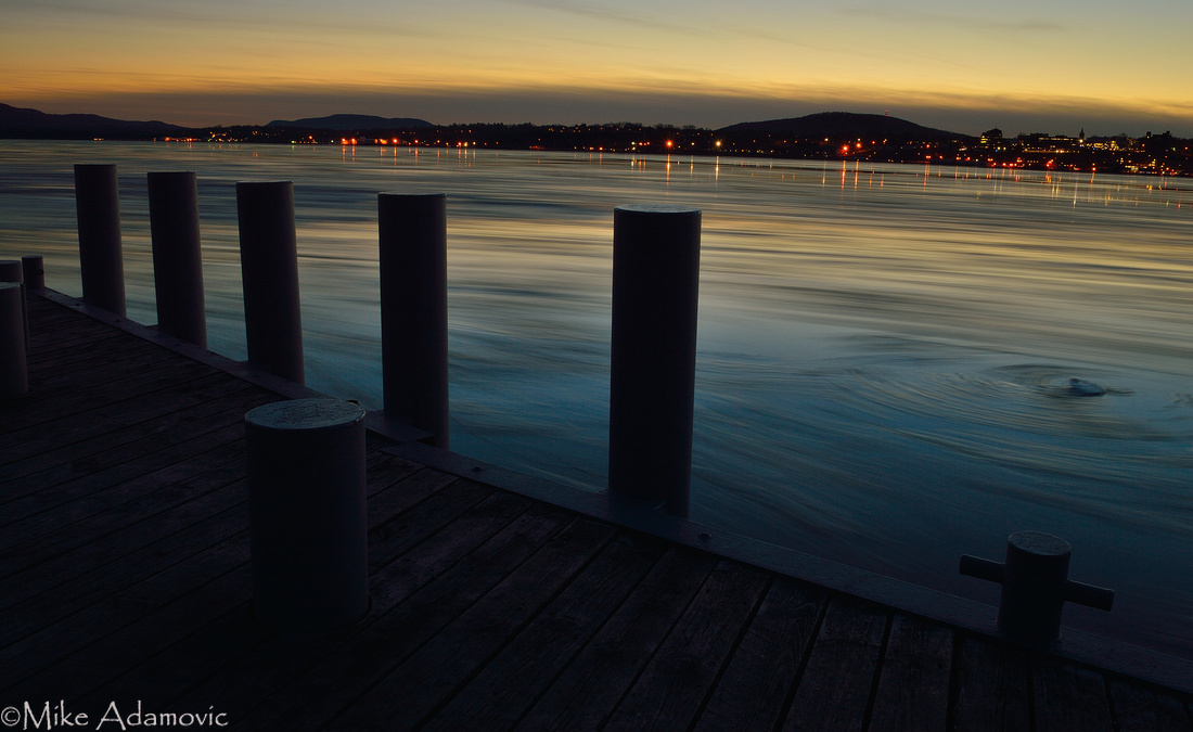
The Hudson River has been described as an "arm of the sea." As a tidal estuary imbued with salt water and marine organisms that penetrate far inland from the Atlantic, this description is decidedly fitting. The Hudson is certainly one of the more unique water bodies in America. From New York City, the tidal portion of the estuary penetrates 153 miles inland where it abruptly ends at the Federal Dam in Troy. Along its lengthy career from the flat and sandy coastal plains of the Atlantic to the hilly interior of the Capital District that fringes upon the Berkshires and Adirondacks, the river is amazingly steadfast in direction, varying little in its north-south orientation, and essentially being as straight as an arrow, compared to the bulk of the country's other winding waterways. Traveling up it one encounters an unparalleled diversity of habitats and environments that often bewilders those making the trip for the first time. There's little wonder then that Henry Hudson thought this singular river might have been the fabled Northwest Passage leading to the Orient.
The Hudson we know today began its life at the end of the last Ice Age. As a massive, miles-thick glacier advanced southward from Canada, the tremendous weight of the ice and accompanying debris it carried with it bulldozed and scraped the ancient landscape into its present configuration. Lofty mountains were planed and deep gorges were scoured in the bedrock. Over time, as the climate improved and temperatures steadily rose, the southern terminus of the ice sheet began to melt and slowly retreat, approximately 21,000 years ago. Flood waters from the ice streamed into the large basin that would become the Hudson. Tremendous amounts of glacial outwash (mostly sand and gravel) were carried by the powerful waters into the channel where they filled in the deep chasm, reducing its depth considerably.
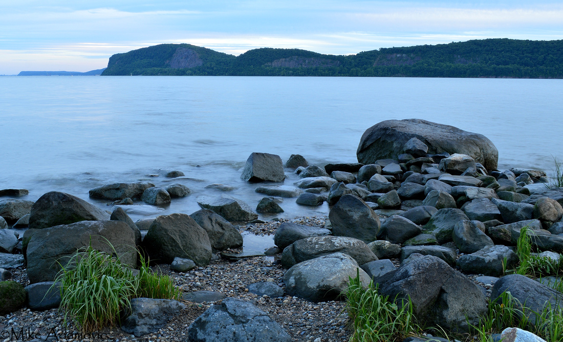
The steep and narrow passage through the Hudson Highlands, where precipitous mountains abruptly rise from the river's edge, is by far the most dramatic of the Hudson's scenery. This section is actually a fjord, similar to those of Norway and other Scandinavian countries. Despite having several hundred feet of gravelly sediment lining the bottom of the canyon-like fjord, the Highlands section is still significantly deep. At West Point, near a treacherous bend in the river's otherwise linear course, known as World's End, the bottom extends 175 feet below the surface of the water, and is the deepest spot of the river.
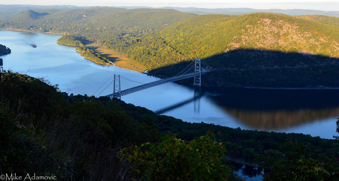
The Hudson Highlands are part of the ancient Appalachian Mountain Range, dating back to the Precambrian Era and contain rock a billion years old. The Appalachians were once higher than the towering Himalayas. Over the eons, the forces of erosion progressively wore them down to mere stumps of their former selves. This is the only instance in its 2,000 mile stretch where a river cuts through the mountain chain down to sea level.
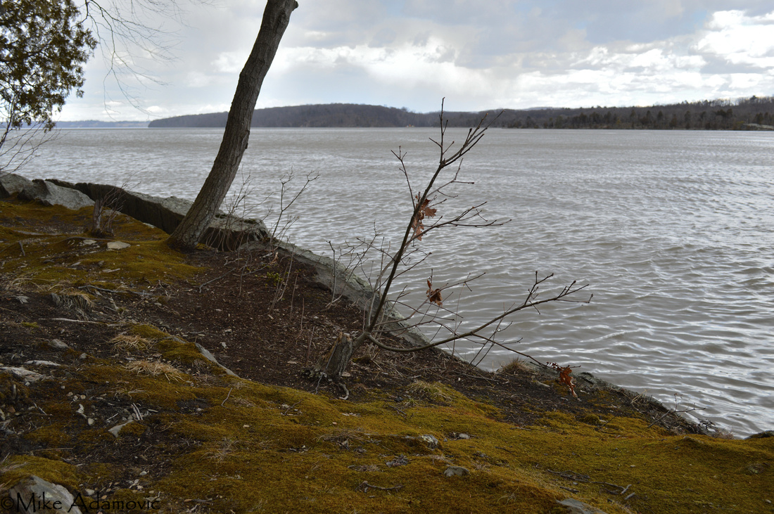
The Hudson experiences two high and two low tides per day that affect the entire estuarine portion of the river. If it wasn't for a dam spanning the Hudson in Troy, the river would continue its tidal action farther north. Above the dam the Hudson ceases to be an estuary. While the salt front doesn't penetrate as far as the tides, some marine organisms do make it all the way up to Troy. The tasty blue crabs are among them. The maximum extent of the salt front rarely ventures past Newburgh, although drought and high levels of precipitation will push it farther north or south, respectively.
The greatest tidal range (the variation between average high and average low tides) occurs at Troy (around 5 feet), while the smallest range occurs at West Point (around 3 feet). Tidal flow in the Hudson is best described as water sloshing around in a bathtub. As one end goes up, the other goes down, with little variation happening in the middle. While both the lower and upper ends of the Hudson River experience extremes, in terms of water height, the Highlands and part of the Mid-Hudson are comparatively stable.
Simply put, tides are driven by the gravitational pull of the sun, and to a much larger extent, the moon, along with the rotation of the planet. The alignment of these astronomical bodies determines the times and amplitude of the tides. Surrounding geographical features also dictate their strength and duration. In estuaries, tidal range increases as the basin becomes shallower and narrower. Tidal waves are forced to slow down as a result, thereby accentuating the tide. This is why Troy has the greatest tidal range—153 miles inland the river is exceedingly constricted and quite shallow compared to many other sections of the lower estuary.
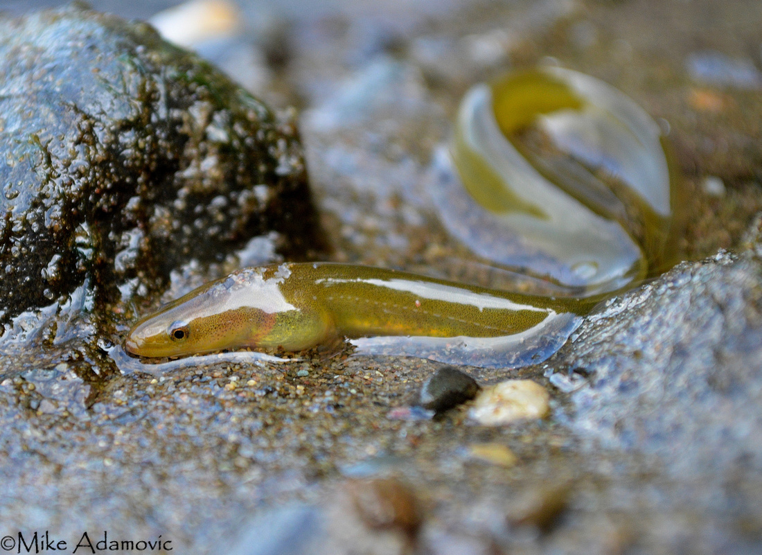
Estuaries, generally speaking, are the most productive ecosystems on earth. A plethora of both marine and freshwater organisms cohabit an estuary's brackish (mixture of salt and fresh) water, leading to an exceptionally high diversity from a fusion of habitats. Moreover, estuaries are able to support such prodigious quantities of life by receiving nutrient-laden runoff from terrestrial environments. For marine organisms especially, estuaries are vitally important. Apart from containing richer water than the open ocean, these shallow and protected inlets offer a high degree of protection and abundant food for their offspring. While some marine creatures do not live here year round, they will return to spawn. Juveniles of innumerable species will thus start their lives in estuaries, such as the Hudson, and remain until adulthood before migrating to the ocean. Striped bass, American shad and other herrings (alewife, blueback), are but a few creatures that return to the Hudson at the start of spring to spawn. These types of fish are anadromous; whereas, the American eel, which spends most of its life in freshwater or estuaries, and returns to the sea to mate, is a catadromous species.
These migrants were an especially important food source to the native peoples that once inhabited the Hudson Valley. By use of nets and intricately designed traps called weirs, large numbers were easily captured. They would often mark their arrival by the blooming of the shadbush.
The Hudson River Estuary has been known throughout history by a variety of names. From its current appellation, derived from the first recorded European to ever sail up it, the names descend into a dizzying array of titles. Called the Rio San Antonio, Rio de Montaigne (River of Mountains), Mauritius River, Great River, Orange River, North River, and finally Hudson River, this glacially scoured tidal basin has seen its name change nearly as frequently as the reversal of its tides. But perhaps the most significant sobriquet is its first, bestowed to the river by the Native Americans. They called it the Muhheakantuck, "the river that flows both ways."